
Monroe Neighbor Record Sources
A block search needs clear boundaries. The public mapping and parcel systems show physical context and recorded property relationships. Municipal records can show public decisions or a project history. Historical collections add a dated view of former streets and institutions. None of these systems is a Monroe neighbors roster, so the useful output is a documented block context, not a profile of people at adjacent addresses.
| Source | What it shows about a block | Access and limit |
|---|---|---|
| Union Atlas parcel layer | Parcel shapes, roads, address points, subdivisions, structures, jurisdiction layers, and aerials | Public map viewer; not a legal survey or household directory |
| Property Tax Inquiry | Parcel key, physical address, owner or entity, mailing address, class, value, and assessment fields when a result renders | Public quick search; owner is not necessarily an occupant |
| Register of Deeds instruments | Historical ownership, legal descriptions, plats, lot and subdivision references | Name-based index; online deeds from 1973 and maps from 1842, with office route for older material |
| City and County permit routes | Address-keyed permit, inspection, zoning, and project context | CityView or County Evolve depends on jurisdiction; public output varies |
| City archive and agendas | Published reports, notices, packets, and public meetings associated with a place | Keyword and date searching, not private household data |
| Library and genealogy collections | Dated directories, maps, newspapers, cemetery, church, and school leads | Historical evidence requiring date and identity checks |
For a whole named street, the address-record sequence belongs on the Monroe by-street directory. The narrower Monroe neighbor method starts with one parcel and moves outward only to describe nearby parcels, public places, and historical evidence.
Map Monroe Neighbor Parcels
Union Atlas is the best Monroe starting point for adjacent-parcel context. Its visible search choices include owner name, parcel number, address, and subdivision name. The viewer also presents street-address and street-name searches, current-map-extent controls, acreage and sales filters, and map tools such as Select, Identify, Measure, Draw, Print, and CSV export. Those controls help make a reproducible note about a block.
- Find the exact Monroe address in Atlas and save the address string and map date. Use the address search first, then compare the parcel and road layers.
- Select or identify the parcel. Record its parcel identifier and physical boundary rather than copying a personal profile from the map.
- Pan along the same street segment and inspect adjoining polygons one at a time. Note public institutions, cemetery sections, street changes, or subdivision labels when the layer identifies them.
- Use the assessor only when a specific parcel needs a recorded-owner or mailing-address comparison. Keep that result separate from evidence of occupancy.
- Move to deeds, plats, city archives, or historic directories only when the question is dated property or block history. Preserve each record's source date.
The Atlas does not expose a dedicated neighbors result or a confirmed radius-resident output. Its value is spatial context: a reader can see which parcels touch, how roads meet, and which public map layers were active during the search.
Monroe Neighbor Map Tools
The same screen can make old and new data look equally current, even when the layers have different dates. Union GIS says parcel boundaries update constantly and can appear online within a day, address points update daily and come online the next day, while zoning and flood information follow their own schedules. The downloadable GIS inventory likewise shows separate dates for parcels, billing, roads, structures, zoning, subdivisions, address points, and municipal areas.
That is why a Monroe neighbor note should include the query mode, the layer name, and the date used. A parcel edge is not a survey boundary. A zoning label may need confirmation through the City of Monroe because county zoning does not cover Monroe and other municipalities. A displayed mailing address is not proof of a person's daily location. This map-freshness check is a practical safeguard when records are compared across a block.
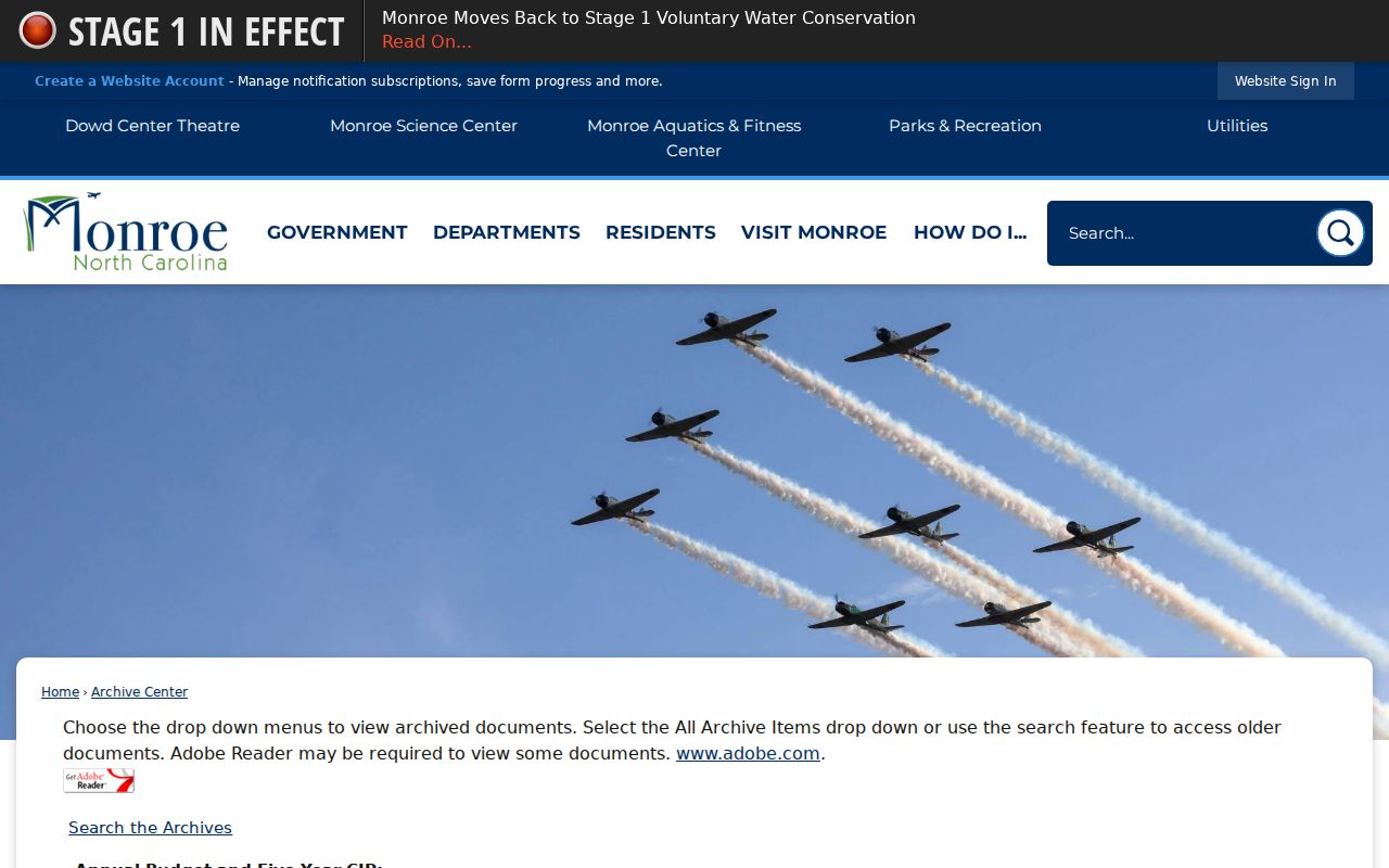
Monroe's city archive search can add dated municipal documents to a block-history note.
Neighbor Evidence Is Not Occupancy
Property records, deeds, maps, directories, permits, and voter administration each capture a different role. The assessor can connect a parcel to an owner or entity. The Register of Deeds can document an instrument in a chain of title. A printed directory can place a named householder at an address in its publication year. A permit can describe work at a property. None alone proves uninterrupted residence, family relationships, or the identity of everyone nearby.
North Carolina's voter lookup is especially easy to overread. It is a name-and-county registration tool, not a block or ZIP roster. Its public result can address registration status, jurisdictions, polling place, and participation history, but it does not show ballot choices. Protected fields and Address Confidentiality Program protections remain in force. Use the Union County Board of Elections or State Board for a lawful question about a particular voter record, not to construct a Monroe neighbors list.
Monroe Community Directory Gap
No authoritative current Monroe neighborhood-association or HOA directory with a public member or contact roster was located in the research. City planning documents speak of surrounding residential areas, gateways, and neighborhood-specific branding, but they do not provide a complete membership map. The safest response to that gap is to say so, rather than assign a block to an invented association or infer membership from an address.
| Public community route | What is available | What it is not |
|---|---|---|
| Union County Chamber directory | A business and member directory for public organizations | A neighborhood-association or household list |
| Monroe Agenda Center | Public meeting agendas, packets, minutes, category and date search | A membership directory for a block |
| Downtown Master Plan | Planning language for downtown gateways and surrounding areas | A legal boundary or current association roster |
When a named organization publishes its own public contact page, use that direct source. Do not infer a resident's civic, faith, or community affiliation from a nearby parcel, a directory mention, or attendance at a meeting.
Compare Monroe Neighbor Sources
Official maps and custodial records preserve source and date. Commercial neighbor products may merge tax, voter, directory, broker, and public-profile material into one display. That convenience can hide a stale parcel, a same-name mix-up, or protected information. The practical comparison is not free versus paid. It is a choice between a source that says what it records and a compiled result that may not show its record date or matching method.
| Source type | Strength | Limit to keep visible |
|---|---|---|
| Official parcel, deed, or archive record | Known custodian, field meaning, and record-specific access route | May be older, partial, or about ownership rather than occupancy |
| Historical scan or society index | Dated context for a Monroe block or household | Requires a page, date, and identity cross-check |
| Commercial compiled neighbor category | May offer a quick lead | Can be stale, mismerged, incomplete, or expose protected people |
Monroe Permit and Archive Context
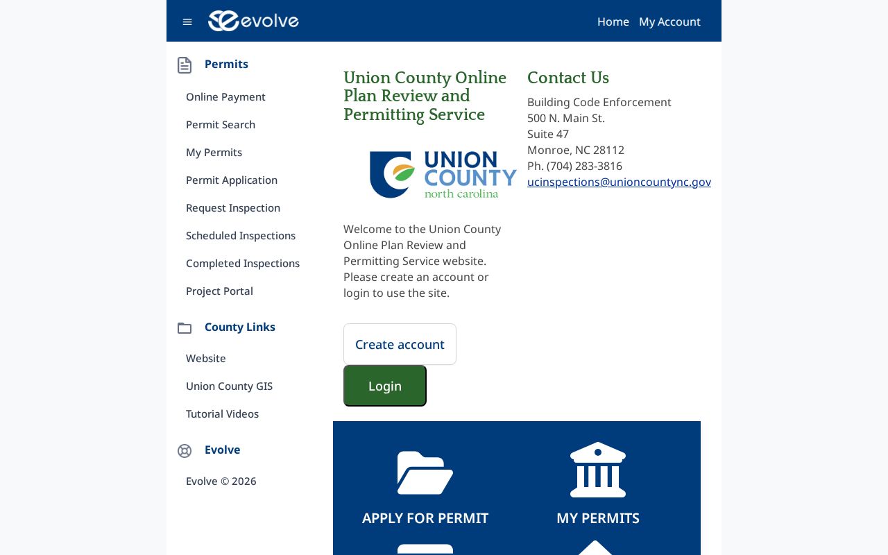
For a physical change on a block, first establish the jurisdiction. The City of Monroe uses CityView for building permit applications, application search, and uploaded submittals. The County's Evolve public search is a different system with modes for date, subdivision or lot, permit, tax parcel, and contractor. County zoning excludes the Monroe municipal jurisdiction, so a county result should not substitute for the city's planning or permit record.
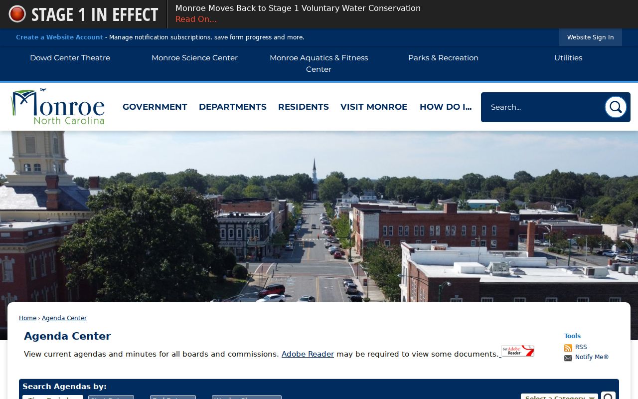
The City Archive offers keywords, archive category, time period, and date-range fields. Agenda Center adds quick periods, start and end dates, terms, category, and search. Together they can explain a public decision or infrastructure topic near a Monroe block. They cannot establish a private household history on their own.
Union County's public permit search is a jurisdiction-specific source for an address or parcel history outside the CityView route.
Monroe Neighbor History Layers
Historic Monroe blocks can be read through Sanborn maps, city-directory street pages, local newspapers, cemetery materials, deeds, and public planning documents. The Dickerson Room's resources include local databases, historical newspapers, city directories, census sources, and Sanborn maps. The Carolinas Genealogical Society adds cemetery, church, school, marriage, will, war-file, and newspaper index categories. These sources are useful for a dated historic block, not a substitute for a live-neighbor search.
Public landmarks provide a safer way to describe place. City-managed Suncrest has Parker, Washington, and Cemetery Drive sections, with early and mid-nineteenth-century portions. Hillcrest includes Stafford and Adams sections dating to the 1940s. A cemetery map, old directory entry, newspaper notice, and parcel record can create a careful Monroe neighborhood-history sequence without identifying a current private household.
Monroe Agenda Center provides the public meeting search interface for location-specific civic history.
Limits for Monroe Neighbors
Monroe neighbor research must stop short of personal profiling. Private contact details, utility and delivery information, motor-vehicle addresses, protected records, sensitive identifiers, and a full household roster are not ordinary public block fields. The Address Confidentiality Program may protect a qualifying participant's location, while juvenile, adoption, sealed, and expunged material has its own limits. A blank result or an absent map label is never proof that no record exists.
Lawful use. Use Monroe block records for personal, historic, civic, and safety-aware research, and never use them to monitor, harass, intimidate, or harm anyone.
For a source that is not online, ask the right custodian about an existing record. Union County's public-record process applies to records that exist and does not require a custom neighbors compilation. That distinction protects both the reader and the people whose records have narrowly defined purposes.